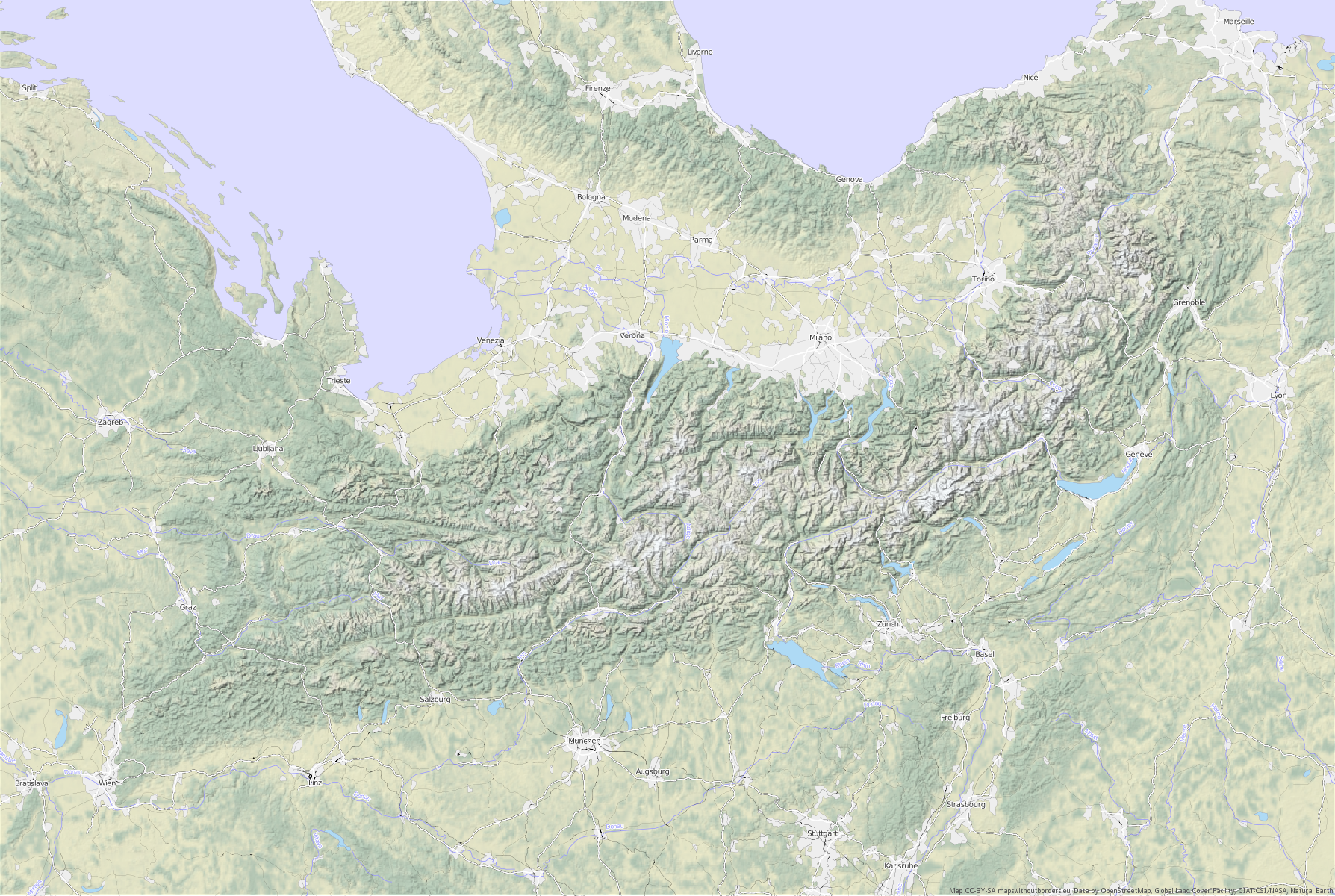
A map of the Alps – Without borders, South up June 2011
For an upcoming research project ("Maps without borders"), I am rendering maps that do not resort to national or administrative boundaries to structure the space on the map. After all, within the Schengen area, borders have become largely invisible, and somewhat irrelevant, to most travellers, which has so far not been reflected in the way these borders are depicted on maps.
The goal of the project will be to develop alternative graphical features that will allow us to still know what is where on the map. I am starting out by creating a few base maps based entirely on open data, and I like to turn maps upside down in the process to free us from the preconceptions we have when looking at a well-known map and see the space in a fresh way. So here’s a first teaser for you, a map of the Alps, without borders, “upside down”. Take some time to look at it – it really provides some fresh insight into this geographical space (Click on the image for the high-res version).
The final maps should be more abstract, but as stated above this will be a medium term research project. Rendering South-up oriented map using opensource tools still involves a few small hurdles currently – I want to provide some more details on the technical workflow I am using in a future post. The data used for this map comes from Natural Earth and OpenStreetMap, with a few local corrections to the data that will be published on the Maps without borders website.